Hoher Dachstein : N, via Simonyhütte - Hallstätter Gletscher
Fusionner des documents
Attention, les photos associées ne seront pas supprimées et deviendront orphelines.
Si vous souhaitez juste modifier le titre ou les documents associés (ex : déplacer une sortie vers un autre itinéraire), il suffit de modifier le document.
Si ce document est un doublon comportant des photos, demandez @Modo_Topo_FR de fusionner les doublons pour déplacer les photos sur le document conservé.
Points de passage
Livres
Itinéraires
Articles
Images
Rapports incidents/accidents
Description
Ascent
From Obertraun, take the cable car up to Krippenstein.
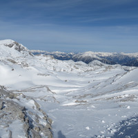
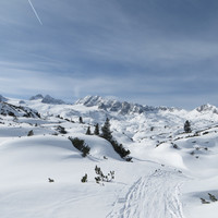
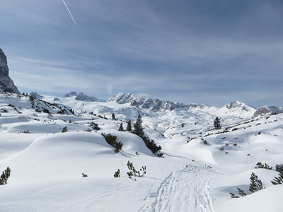
Then go down W past Gjaid Alm (1750m), and continue W through the flat plateau (lots of little up and downs - but only a few meters each time). Follow the markings, as it is very easy to get lost and fall in a hole (dolines and sinkholes).
Continue W until you're past Traubenkogel, then the route turns to the S.
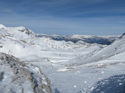
Close to Simonyhütte, the route splits: turns left (E) to the hut (5 min away), or continues S to the glacier, on the W side of Schöberl.
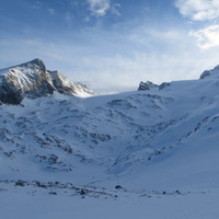
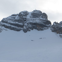
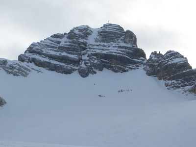
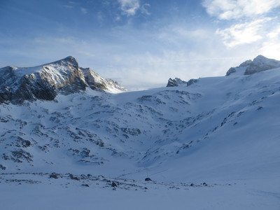
Once on the glacier, continue S (markings) until you reach the final N face of Hohe Dachstein.
Ski depot at around 2900m, then it is climbing to the summit (cable in places, and steep snow/ice at the end)
Descent
Either same way, or heading N-NE down the steeper part of the glacier, to Oberer-eissee (2100m) then climbing back 150m to Simonyhütte.
And then either back E to Gjaid Alm, climbing a bit (50m) and skiing along the pistes all the way down, or W to Wiesberghaus and the Tiergarten Descent
Remarques
Lots of dolines and sinkholes, be very wary of bad visibility, very easy to get lost or worse, fall in a hole.
The height difference does not seem big, but the route is very long due to the ups and downs on the plateau.
The skiing is never technical, without the optional final climb, it is PD- (because of the length). The climbing part makes it PD+/AD-
Matériel
Crampons and ice-axes for the final climb
Commentaires
Ce contenu est sous licence Creative Commons BY-SA 3.0
Les images associées à cette page sont disponibles sous la licence spécifiée sur le document d'origine de chaque image.
Imprimé le 27 octobre 2025 12:57

