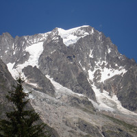
Grandes Jorasses - Pointe Walker : Standard ascent
Fusionner des documents
Attention, les photos associées ne seront pas supprimées et deviendront orphelines.
Si vous souhaitez juste modifier le titre ou les documents associés (ex : déplacer une sortie vers un autre itinéraire), il suffit de modifier le document.
Si ce document est un doublon comportant des photos, demandez @Modo_Topo_FR de fusionner les doublons pour déplacer les photos sur le document conservé.
Points de passage
Livres
Itinéraires
Images
Rapports incidents/accidents
Rock, snow, mixed it is all there. There are difficulties the whole length of the route.
In recent years the instabilty of the seracs has led the local authorities on occasion to close the hut and the route. Check the latest situation before leaving the valley.
Historique de l'itinéraire
- 1st ascent to Pointe Whymper : June 24, 1865 - Christian Almer, Franz Biner, Michel Croz, Edouard Whymper.
- 1st ascent of Pointe Walker (directly by the SW slope) : June 30, 1868 - Melchior Anderegg, Julien Grange, Johann Jaun, Horace Walker.
- 1stski descent : April 10, 1971 - Sylvain Saudan.
Description
Approach`
From the parking at Planpincieux to the Boccalatte hut.
Route
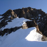
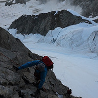
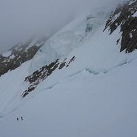
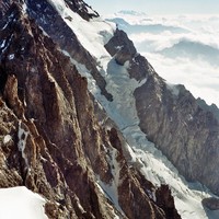
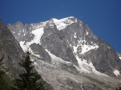
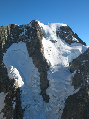
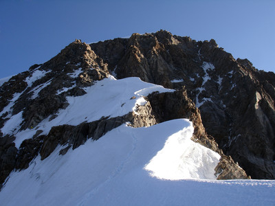
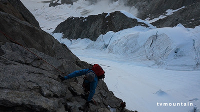
From the Boccalatte hut, go up to the N to reach the Planpincieux glacier. Climb up it, keeping below the Rognon de la Bouteille. After an area of large crevasses, reach the base of the Reposoir spur. Start by a ramp to the right and take the easiest line along the crest, (3b/c.) Cross a broad, steep and exposed couloir, (Whymper couloir, exposed to avalanche/ rock and ice falls,) towards a rocky corner on the ridge which descends from the Pointe Whymper. Climb the corner (3b).
From here, there are 3 possibilities:
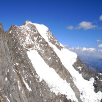
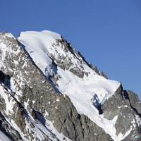
- Follow the rocky ridge, (Rochers Whymper,) to the summit of the Pointe Whymper (4184m). Then go to the right to reach the Pointe Walker (4208m).
- Go up the snow couloir (45-50°) to the right of the ridge coming down from the Pointe Whymper.
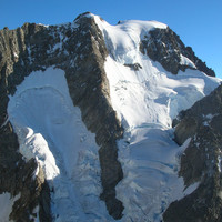
- (The traditional route) Traverse the glacier plateau under the séracs, (still very unstable since a large collapse in 2001,) then go up the ridge, (mixed,) leading to the Pointe Walker (summit).
Descent
From the Pointe Walker go down the (Walker) ridge (option 3), mixed. Pass under the seracs to reach the Whymper ridge. Descend the corner, (abseil), then follow the way up in reverse to the hut.
Remarques
Some markers have been placed in the suspended serac of the Grandes Jorasses. These markers do not indicate the route, do not follow them, but keep either to the right or the left. Sources : Fondation Montagne Sûre 16/01/2009
- Faces E, leave the hut very early. The lower part faces SE and the grassy slabs and overhanging rocks warm up very quickly. Higher up the route remains in the shade of a rocky spur until later.
- Skiers : sustained slopes all the way, do not underestimate the access to the hut in winter. The glacier might not be always passable, very turbulent/chaotic.
Ressources externes
- Grandes Jorasses, The Alpine Journal, vol. 4, 1868, no23, p.157 : chronicle of the 1st ascent.




Commentaires
Ce contenu est sous licence Creative Commons BY-SA 3.0
Les images associées à cette page sont disponibles sous la licence spécifiée sur le document d'origine de chaque image.
Imprimé le 9 août 2025 13:33

