Piz Belvair : S Slope
Fusionner des documents
Attention, les photos associées ne seront pas supprimées et deviendront orphelines.
Si vous souhaitez juste modifier le titre ou les documents associés (ex : déplacer une sortie vers un autre itinéraire), il suffit de modifier le document.
Si ce document est un doublon comportant des photos, demandez @Modo_Topo_FR de fusionner les doublons pour déplacer les photos sur le document conservé.
Livres
Itinéraires
Articles
Images
Rapports incidents/accidents
Description
Aufstieg 4 hours
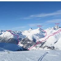
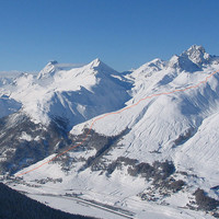
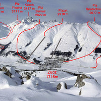
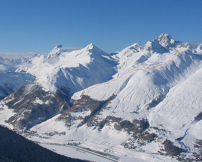
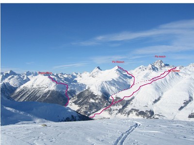
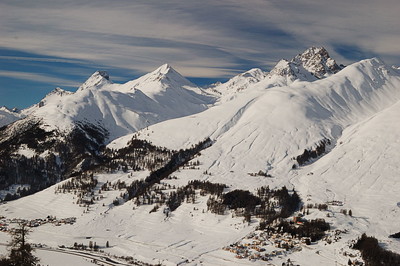
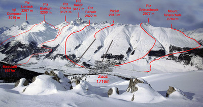
From Madulain railway station, remain on the orographical left bank of Ova de Es~cha. Traverse a not very dense woodland to the NW while passing, for example, via elevation 1963 to reach Alp Belvair (2261m) via steeper slopes but without difficulties. Continue completely N as far as the summit.
Descent
By the same route.
Remarques
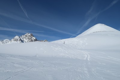
- S3 overall. A short 80m section at 35° under the secondary summit 2786. Gentler slopes between 2500m and 2600m as well as in the wooded section.
- S for the higher slopes. SE for the wooded section above Madulain.
- Slightly far (to the W) from the route, it is possible to spend the night at Chamanna of Es~cha (2594m, open in winter) and combine it with other routes: Piz Blaisun (3200m), Fuorcla Pischa (2871m), Vadret Pischa (3081m) and Piz Kesch (3418m).
Matériel
Accès en transport en commun

We didn't find any public transport stop point in a 5 km foot range from any route access point.
Commentaires
Ce contenu est sous licence Creative Commons BY-SA 3.0
Les images associées à cette page sont disponibles sous la licence spécifiée sur le document d'origine de chaque image.
Imprimé le 4 août 2025 21:32

