Dents du Midi - Col de la Dent Jaune : NW Couloir
Fusionner des documents
Attention, les photos associées ne seront pas supprimées et deviendront orphelines.
Si vous souhaitez juste modifier le titre ou les documents associés (ex : déplacer une sortie vers un autre itinéraire), il suffit de modifier le document.
Si ce document est un doublon comportant des photos, demandez @Modo_Topo_FR de fusionner les doublons pour déplacer les photos sur le document conservé.
Points de passage
Livres
Articles
Images
Rapports incidents/accidents
Description
From the hairpin turn (1206m) traverse the Soi torrent slightly to the S of the Frassenaye hamlet, take a walkway which climbs in the forest and which joins the Soi road. Follow it for awhile.
There are two possibilities for reaching the foot of the corridor: -at the third hairpin turn, take a walkway which traverses the torrent to reach the Soi d'en Bas chalet (1679m). Go towards the SSE, the slopes become rather steep and intersect with bars to reach a small scoop framed by the ridges of Sélaire and Sex Bornay. Go around the bump 2289m on the right (S) and you end up on the plateau of the Soi glacier;
-after the fourth hairpin turn (possibility of cutting between the hairpins), take a walkway which leads around the Soi d'en Haut chalet (1864m). Cut across the high mountain pastures to join the Soi ridge. Follow it towards the SE (sometimes visible walkway) until the ridge gets towards 2050m then leave it forking towards the right (S). Traverse above a rock band and reach a plateau (the Grus) then a new steep pitch that is crossed easily. You emerge in a large basin occupied by the Lac de Soi (2247m). The traverse to the SSW in the direction of the cone corridors of Dent Jaune and des Doigts. This second route is very pretty and particularly advantageous when one can climb high enough in the car via the Soi road in spring.
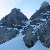
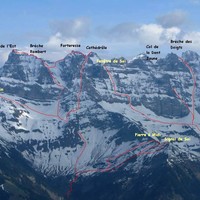
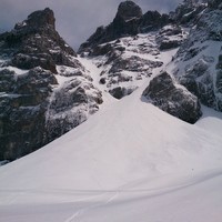
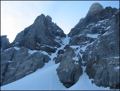
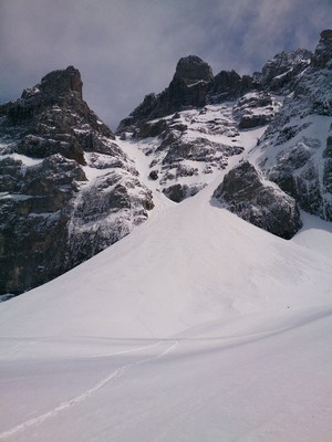
Approach the cone which becomes steeper then divides into two branches: the corridor of Dent Jaune to the left (E) and the corridor of des Doigts on the right (W).
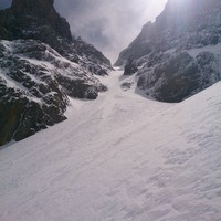
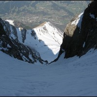
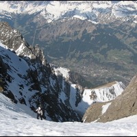
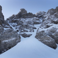
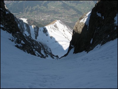
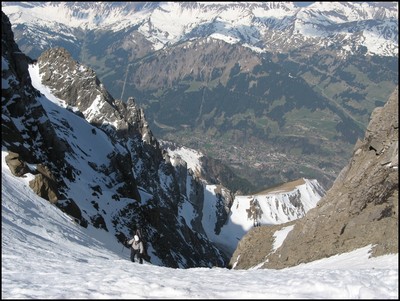
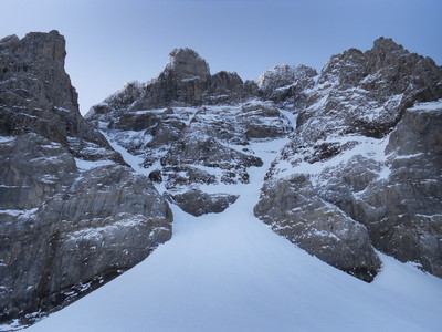
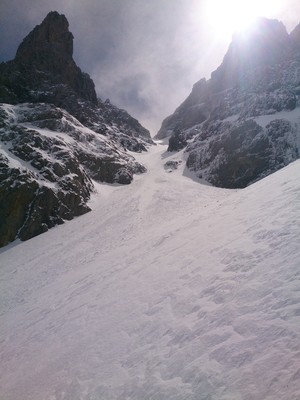
Return to the corridor of Dent Jaune, which is long, regular (S4) and rather broad until reaching the pass of Dent Jaune (3004m).
Descent: by the same route giving preference to the option joining the Soi d'en Bas farm.
Remarques
The vertical drop is given here in the most unfavourable case (in full season). However, it is possible to go higher to some extent on the Soi road at the beginning or end of the season. In the latter case, the road is often full of debris and stones making this ordinarily spectacular journey even more difficult.
The corridor is approximately 600m high including the lower cone. It is rather broad and regularly inclined at approximately 40°. The exposure is average (E2). At the beginning of the season, a mixed steep pitch 6 to 8m high can appear 50m above the bergschrund. The lower slopes are easier but still unrelenting and often avalanchous.
The Soi glacier is fairly easygoing and in general does not possess any crevasses. On the other hand, at the beginning and end of the season, a bergschrund which may be cataclinal forms between the cone and the corridor. It is possible to reach the Dent Jaune corridor yellow by traversing the start of the Doigts corridor where the bergschrund is generally easier, then traverse on the left side via overhanging walls above a small bar.
It is important to note that Dent Jaune corridor is frequently hit by stone falls coming from the cliffs above. Being in the corridor after the beginning of the afternoon in springtime is not recommended.
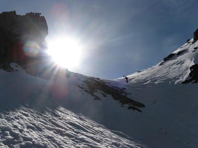
The corridor faces WNW. Since it is framed by major rocky cliffs, it gets the sun in the afternoon. The lower slopes are NW to W.
Access:
Follow Monthey, Trois-Torrents then Val d'Illiez. Go left at the Val d'Illiez exit, towards Play. Go left again after crossing a torrent: you descend to the bottom of a dale and go up on the left after the bridge. Go 4 km on this road until a crossroads, la Meuraye (1160m). If the snow cover is low, park your car by going right at the crossroads until a dale (avalanche in general). If it is the end of the season or autumn, go left at the crossroads then at the end of 1 km, take the road on the right leading to the Soi high mountain pasture. Park at the third hairpin turn (1570 m), where you can see the Soi d'en Bas farm a little higher up on the other side of the torrent. Right at the beginning of season you can only get to Soi (1950m), then take the walkway which crosses towards the glacier.
Accommodation:
The Dents du Midi refuge (2884m, CAS, 20 places, very well equipped) perched above the Plan Névé glacier, S slope of the Dent Jaune pass, can agreeably cut the route in two.
Matériel
Ice axe/crampons. A small rope might be useful if the bergschrund is rather difficult. Wearing a helmet is strongly recommended (possible stone falls).
Itinéraires associés

Commentaires
Ce contenu est sous licence Creative Commons BY-SA 3.0
Les images associées à cette page sont disponibles sous la licence spécifiée sur le document d'origine de chaque image.
Imprimé le 11 août 2025 16:14

